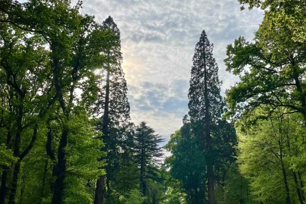
New Forest Walks
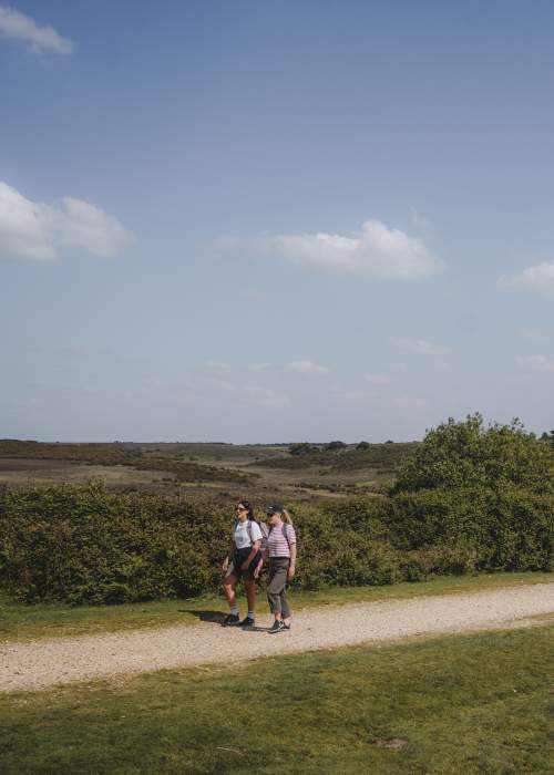
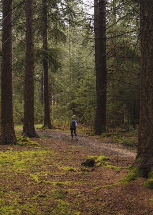
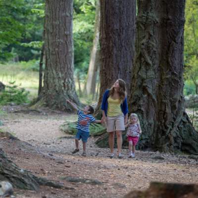
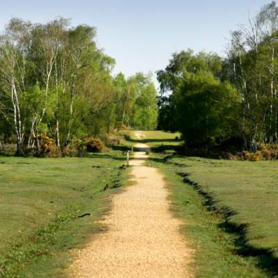
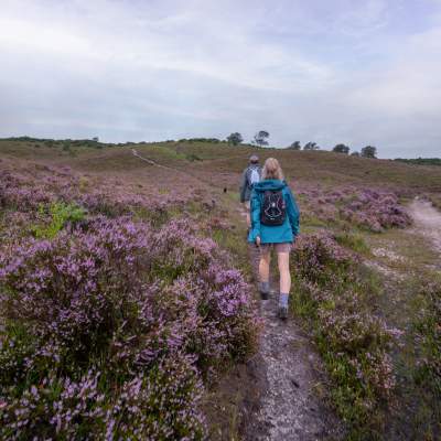
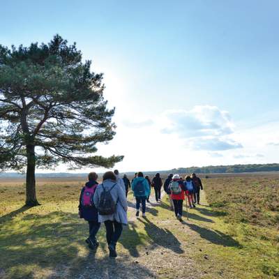
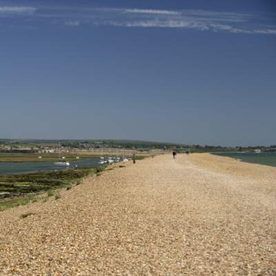
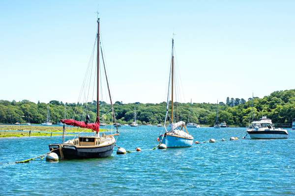
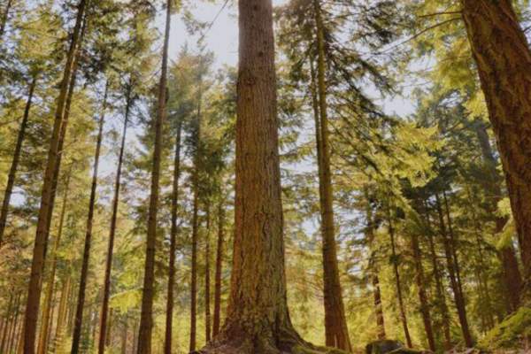
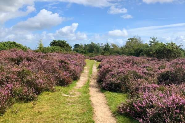
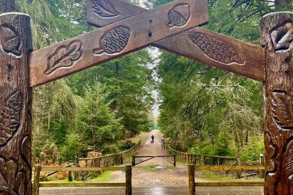
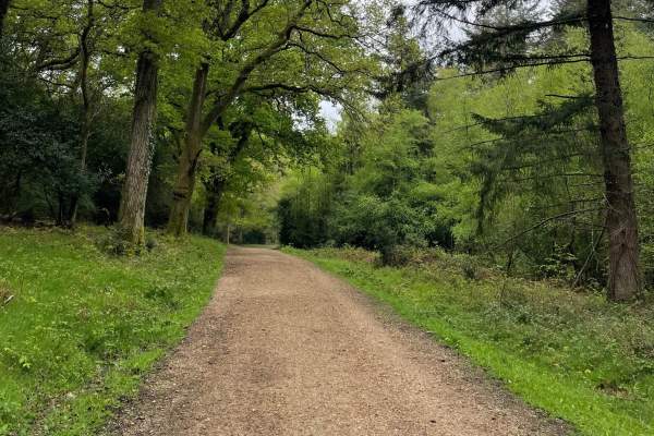
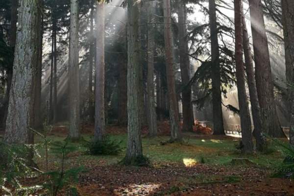
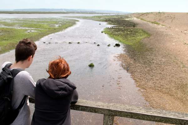
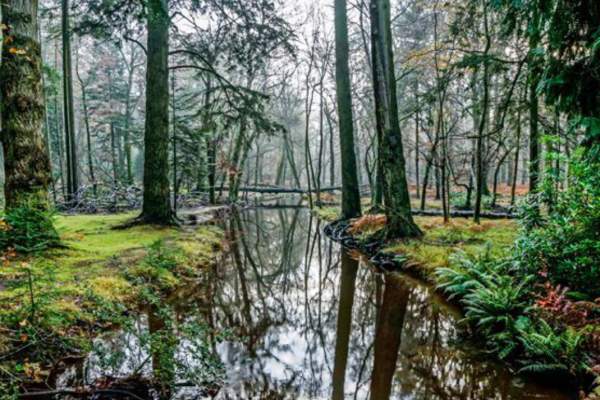
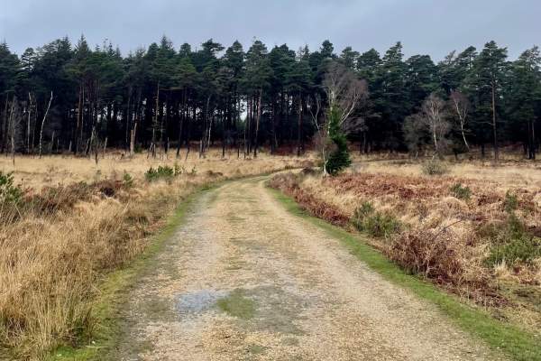
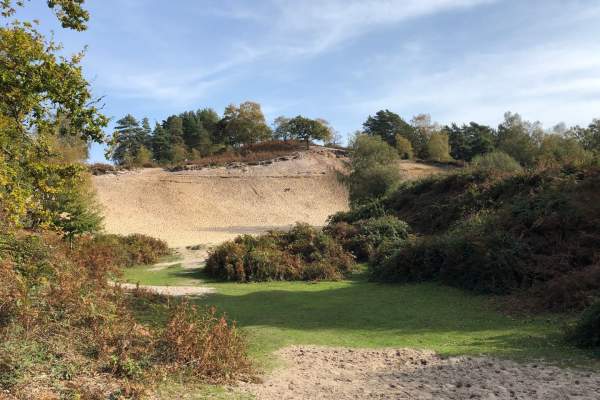
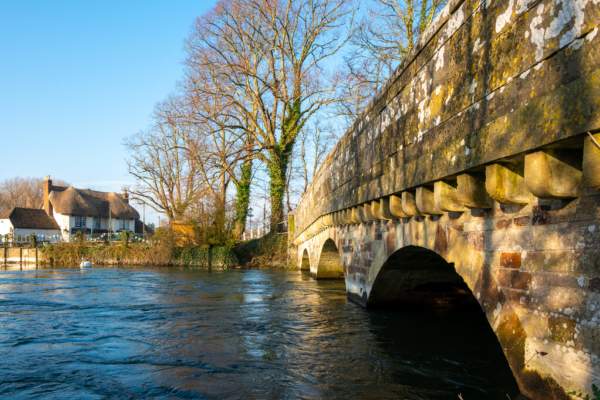
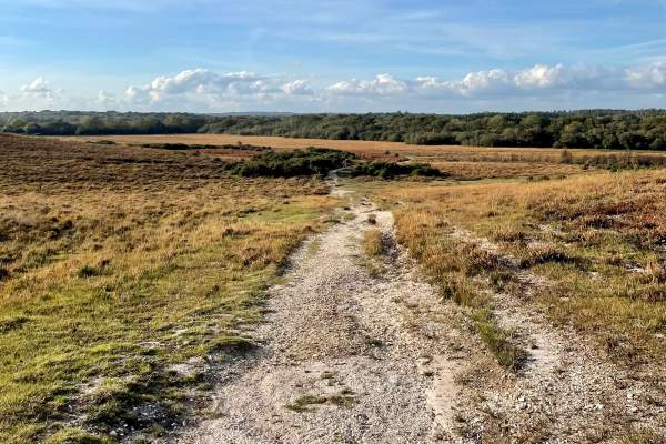
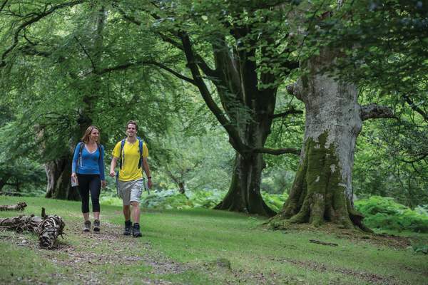
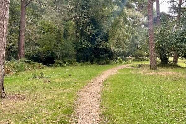
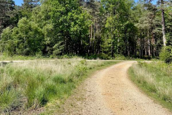
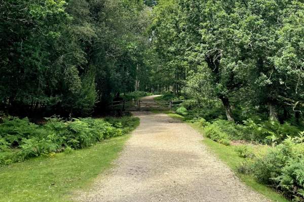
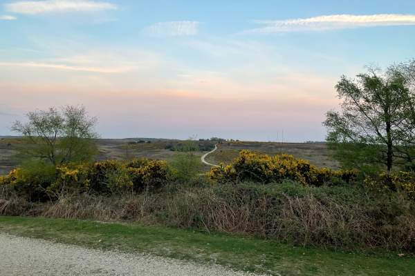
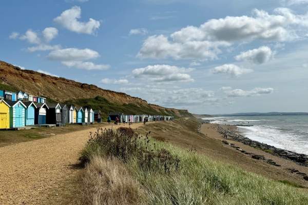
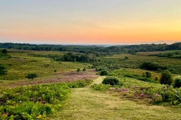
Walking in the New Forest is an excellent way to truly experience our ancient woodland, beautiful heathland, pretty villages and our 40-mile ‘secret’ coast. Anyone with a keen passion for walking and wildlife will love the variety on offer here in the New Forest; we have more than 140 miles of hiking tracks and footpaths, where you can enjoy easy-to-follow walks, short strolls or long-distance trails.
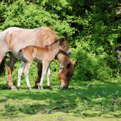
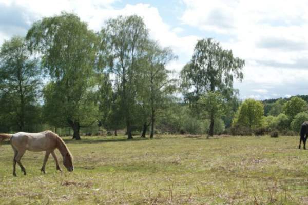
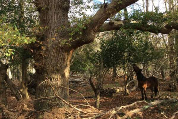
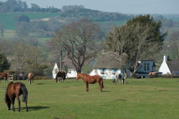
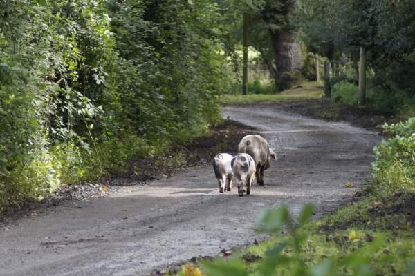
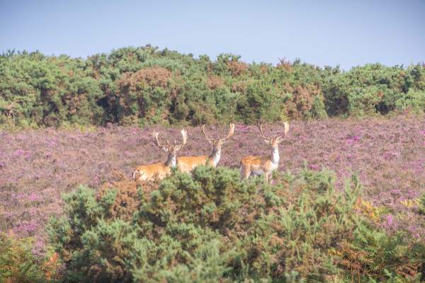
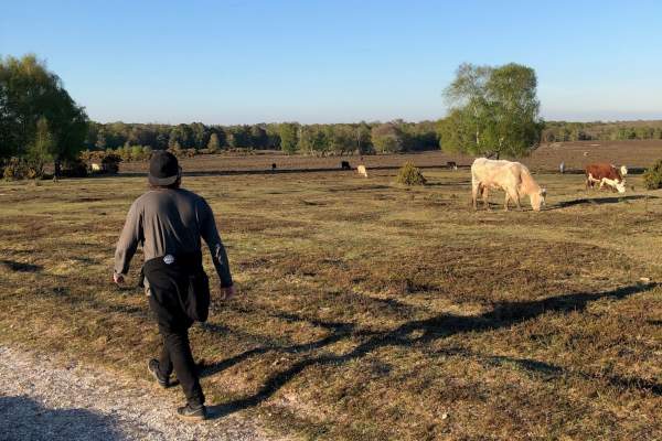
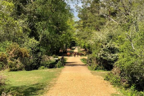
One of the things that make New Forest walks so unique is to see thousands of free-roaming ponies, donkeys, cattle and deer on your travels around the National Park, and even pigs during the autumn too!
Please plan ahead when walking in the New Forest and find out more about our local car parks and toilet facilities. Please always follow the New Forest Code when walking in the New Forest. The New Forest National Park is a wonderful place to visit and you can help it stay that way by being a Forest friendly visitor.
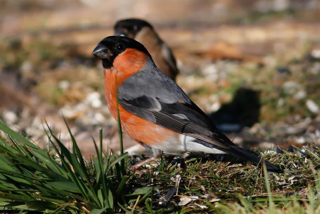
To help ground-nesting birds rear their young safely, keep yourself, dogs and horses on the main tracks from the beginning of March to the end of July.
Top 5 Places to Walk in the New Forest
With so many areas of countryside to explore, it’s hard to pick our favourites, however here are some of the most popular walking routes you can find in the New Forest:
-
Bolderwood: Radnor Trail (1.9 miles)
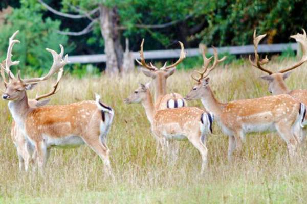
This fantastic medium walk passes through sweet chestnut, oak and beech dating from the 1860s. Head towards the beautiful Bratley Water, which makes for the ideal spot to rest and enjoy a picnic. The trail will then lead you to the Bolderwood deer viewing platform where you can often see Fallow Deer and at certain times of the day you can see them being fed by the local rangers. -
Anderwood Walk (3.1 miles)
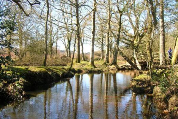
Perfect for families and dog walkers. This 3.1-mile walk follows a lovely path through woodlands and alongside a stream in the New Forest. Enjoy stunning views, shaded forests and you may even see a free-roaming pony. -
Eyeworth Pond Walk (4 miles)
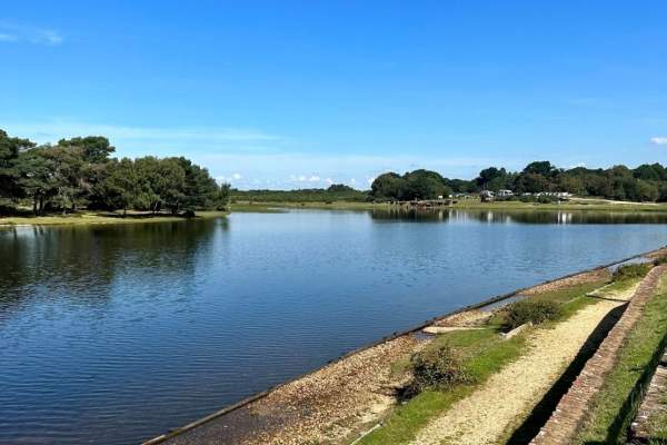
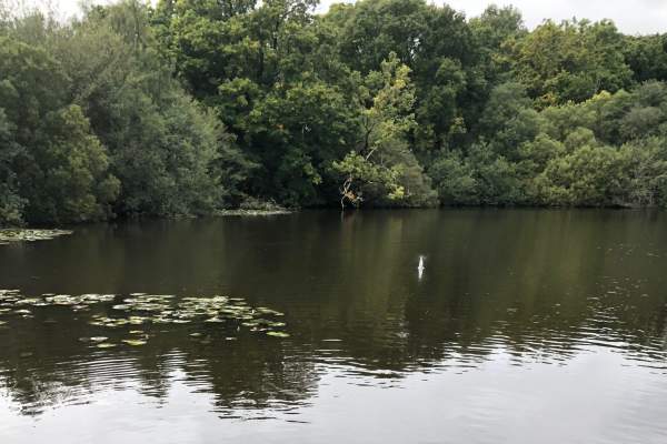
Enjoy a perfect moderate walk through deep woodlands and across heathlands in the New Forest. Explore the wonderful Eyeworth Pond and walk at one of the highest points of the New Forest, Telegraph Hill. -
Burley Village Walk (4.2 miles)
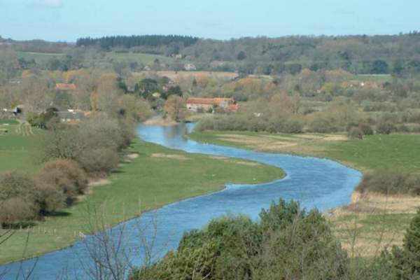
Burley is a quirky village in the New Forest, where you can find wonderful pubs and tasty handmade fudge. On this trail, you'll head out of the centre of the village and explore around the edge on a circular walk. Enjoy the gentle uphill climb along Castle Hill Lane, where you'll find amazing views across the Avon Valley. You'll also pass an ancient fort, open forest and woodland. -
Lyndhurst on foot (8.5 miles)
Discover the ‘heart’ of the New Forest at Lyndhurst. What better way to do this than on foot? This circular walk extends through the parish of Lyndhurst and passes by several pubs, perfect for a break in your journey! A lot of the 8½ mile route is on the footpaths and bridleways which surround the town, with only small sections of the walk taking place on roads.
See how many New Forest ponies and other animals you can spot along the way.
This walk can be enjoyed all year round, although we would recommend that you wear appropriate clothing and footwear, particularly in the colder months.
Walking Routes for all Types of Ability
The New Forest lends itself to all abilities of walkers. If you are travelling with a family then look out for some of our shorter family walks including those suitable for pushchairs which can be seen below.
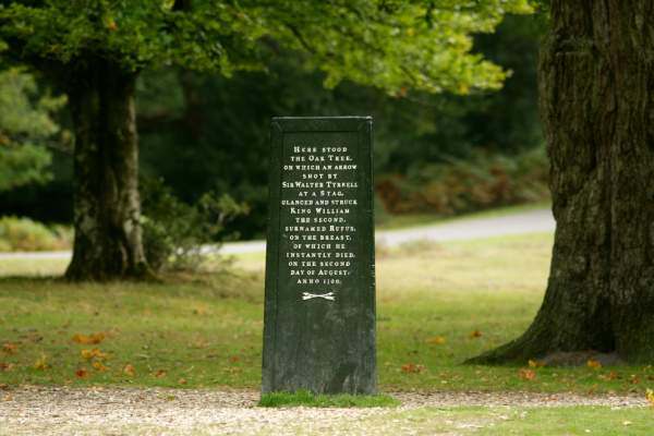
We have accessible walks for visitors who need assistance with mobility, including the Bolderwood Jubilee Grove Trail, the Rufus Stone walk and the Knightwood Oak stroll.
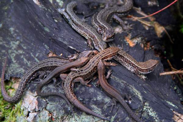
There are wildlife walks for those who want to spot some of our fantastic flora and fauna on their journey including the 1.1 or 1.4-mile Reptile Centre Discovery Trail near Lyndhurst and the Tall Trees Trail at Blackwater. You can also explore our beautiful seaside on a coastal walk.
Enjoy a meander around some of our lovely towns and villages. Take a look at the various routes on offer below and soak up the atmosphere of the New Forest on your stroll.
Fancy making a day of it? Check out our pub walks and enjoy a refreshing drink and some delicious local food on your New Forest walk.
If you prefer long-distance walking routes then why not take a look at the 34-mile Avon Valley Path from Salisbury to Christchurch Harbour? As the name suggests, this route follows along the valley of the River Avon and passes through both Fordingbridge and Ringwood in the New Forest. You may bump into some historic places whilst on your New Forest ramble, check out our historic walks so you know what you're looking for before you head out!
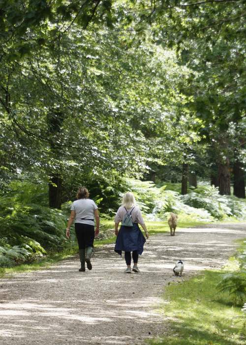
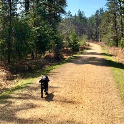
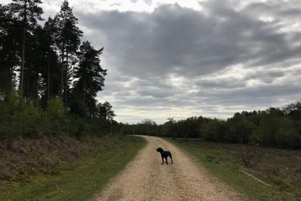
The New Forest is the perfect place for a dog walk, so they can explore our woodlands, heathlands and grasslands too. There are lots of great walks that are great for your dog to burn off some energy and find lots of new smells! Please ensure you read the top tips on how to protect the forest whilst on a dog walk before you visit. You can also find lots of dog friendly pubs, cafes, accommodation and other activities and attractions.
If you want to do an even longer walk then the Solent Way is a 60-mile route from Milford on Sea to Emsworth Harbour which follows along the waterway and passes through Lymington, Beaulieu and Hythe. If you don’t fancy doing either of these routes in their entirety then it is possible to break them down into shorter, more manageable walks.
For additional tried and tested walks, check out New Forest Walks! Join their membership and gain access to 30 excellent self-guided walks and downloads!
Guided Walks in the New Forest
The New Forest has too many official walks to list, and the chance to make your way across its thousands of acres is virtually limitless. So take a look at our guided walks, which have all the information needed to explore the picturesque countryside. Wild New Forest operates daily tours around the New Forest, so you can join in on the fun walks, while learning more about our wonderful nature and wildlife, with their brilliant and knowledgeable tour guides. New Forest Walks offer a variety of easy-to-follow trails – from quick strolls that you can easily do with a pram or buggy, to longer all-day treks – and lots in between. You’ll never be stuck for ideas on where to go in the New Forest again.
Our routes will help you spend family time discovering the wonder of the New Forest, surrounded by its spectacular scenery.
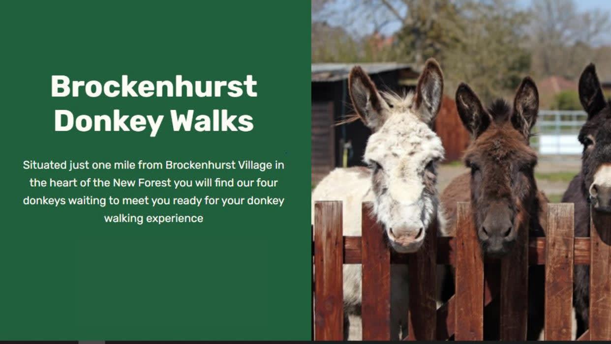
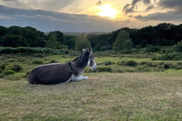
Brockenhurst Donkey Walks offer a guided walk, with an added treat... being in the company of a lovely donkey! Walk through our stunning wildlife and nature with a furry friend, it's the ultimate relaxing New Forest experience.
Don’t forget to keep your diary free for the annual New Forest Walking & Cycling Festival too. Usually taking place for a fortnight in October, this is a great opportunity to join in on a variety of guided walks and bike rides across the Forest. Many of these walks are free or discounted if you arrive by public transport and are run by the New Forest National Park Authority.
what3words
The New Forest is very accessible so whether you are planning on arriving by car (we are less than one minute’s drive from the M27) or by train (just 89 minutes from London Waterloo). With so many car parks and starts of walking routes in the New Forest, we have added the 'what3words' location for the starting point of each walking route to the webpage for the individual routes. If you haven't done so already, you can download the app of this fantastic mapping and directions system onto your phone. Look for 'what3words ///' on the walking route pages. See here an app guide on searching and navigating to a what3words address.
Walking Holidays
Did you know that some of our hotels also have special walking holidays including great accessible routes from their location? Check them out and book your active holiday now.
Don on your walking boots...
Local walking highlights...
Wild New Forest Guided Tours
Explore the New Forest with Wild New Forest Guided Tours Discover the magic of New…
New Forest Walks
Welcome to NewForestWalks.co.uk NewForestWalks.co.uk is your complete guide to…
Brockenhurst Donkey Walks
Experience the New Forest with a Four-Legged Friend Just a mile from Brockenhurst…
Walking routes to follow...
Distance: 2 Miles Start: Starting point : Beaulieu Village Centre what3words ///cheetahs.swerving.mammoth One of the most popular routes for families is from beautiful Beaulieu to the historic Buckler’s Hard as the route follows a two mile footpath along fields and…
Distance: 1.9 mile (3.1 km) Start: Bolderwood car park, grid ref SU 243 086, no postcode. what3words ///shell.frog.reserving Once past the Radnor Stone, this trail passes through sweet chestnut, oak and beech dating from the 1860s. It then skirts the fenced boundary of…
Distance: 4 miles (6.5 km) Start: Pollards Moor Road bus stop, Copythorne Grid ref. SU 303145, Post code SO40 2NZ what3words ///pink.confronts.songbook This walk starts by passing St Mary's Church before winding through Copythorne Common and its interesting mix of…
Distance: 0.3 miles (0.5 km) Start: Bolderwood car park, grid ref SU 243 086, no postcode. what3words ///shell.frog.reserving This very short stroll from Bolderwood car park leads you to a deer viewing platform overlooking fields where wild herds of fallow deer are…
Distance: 3.6 miles (6 km) Start: Chapel Lane, East Boldre, Brockenhurst SO42 7WP what3words ///voltages.during.games A level, 3.6 mile loop starting at Chapel Stores – a non-profit community shop selling drinks, snacks and ice cream. Alternatively join this…
300 Metres This is a New Forest Access For All route. This is an easy walk around the Pond, enjoying the views of the water. Janesmoor Pond is located just south of Fritham on the road to Stoney Cross. what3words ///bachelor.tilting.gong Click for PDF of route and more…
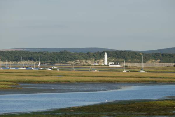
Distance: 3.7 miles (6 km) Start/End: Lymington Town Railway Station, SO41 9AU what3words ///lives.notion.calendars Walk along the Quayside for river views followed by the coastal marshes of the Lymington-Keyhaven Nature Reserve. This is one…
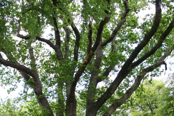
0.4 Mile On this walk you will end up at the wonderful Knightwood Oak, this tree is believed to be the largest Oak tree in the New Forest. Knightwood Oak is protected by a traditional cleft oak fence. Enjoy the surroundings on this very easy walk. Knightwood Oak Car Park…
Distance: 1.8 mile (3 km) Start: Horseshoe Bottom Car Park, Burley Road, Brockenhurst, SO42 7UP what3words///archduke.nursery.homelands This excellent walk features grassland, heathland and woodland and is great for a quick forest adventure! Being a shorter walk…
Distance: 0.7 miles (1.1 km) Start: Blackwater car park, Grid ref. SU 268 047 what3words ///crawler.secure.respected An easy waymarked circular walk through the Arboretum to experience the woodland and take in the variety of tree species. There are regular seats with…
Distance: 2.5 miles (4 km) Start: Twiggs Lane, Marchwood, SO40 4UN. what3words ///treat.fields.scope This trail, one of our shortest Historic Routes, takes you through woodland and open farmland. There are some muddy patches, stiles and the odd fallen tree. The trail…
Distance: 2.6 miles (4.2 km) Start: Godshill Cricket Pitch, Postcode SP6 2LL what3words ///steadier.tingled.thanks This walk takes you along quiet field and woodland paths to the site of an Iron Age hill fort. It then continues to a stream-side hamlet on the edge…
Distance: 2.8 miles (4.5 km) Start: Ashurst New Forest railway station or bus stop; Grid SU334 101, Postcode SO40 7AA. what3words ///choirs.haircuts.pictured From Ashurst railway station this short and easy walk explores a variety of landscapes that…
Distance: 2 miles (3.2 km) Start: Setthorns Car Park, Brighton Road, Sway, SO41 6EB what3words ///sideboard.tripods.entitle Enjoy a relaxed walk through this wonderful inclosure. Follow winding pathways through woodlands, and head through the local campsite!
Distance: 2.8 miles (4.5 km) Start: Deerleap Car Park, Deerleap Lane, Ashurst, SO40 4UH what3words///funny.occurs.strut This circular walk is perfect for a morning stroll or afternoon adventure. Pass through woodlands and alongside grasslands! With a whole network…
2 Miles Milford on Sea is on the New Forest boundary 4 miles south west of Lymington on the B3058. An excellent walk starting on a sealed surface of fine gravel embedded in tarmac, with wonderful views of the Solent and the Isle of Wight. Then following the more rural…
Distance: 1 mile (1.6 km) Start: Bolderwood car park, grid ref SU 243 086, no postcode. what3words ///shell.frog.reserving Starting from Bolderwood car park this meandering route leads you past the deer fields and some majestic trees, the oldest of which date…
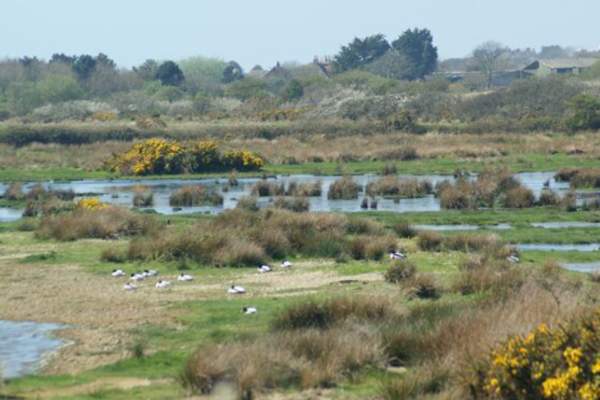
1.9 Miles Keyhaven is approached from Milford on Sea. It is a small village with a very pretty harbour. There are easy walks along the sea wall with views of Keyhaven harbour, the Isle of Wight and Hurst Spit. The area is a good spot for bird watching. Keyhaven Car Park…
1.1 Miles Starting point from the New Forest Reptile Centre Car Park what3words ///oldest.brambles.bared The New Forest Reptile Centre is open all summer until the end of September Opening times of the Reptile Centre are seasonal. Please see the Forestry England website for…
Distance: 1.1 miles (1.8 km) Start: Blackwater car park, Grid ref. SU 268 047 what3words ///crawler.secure.respected This is an easy walk through woodland, passing through the Arboretum which houses a beautiful collection of trees from many countries. The walk…
Distance: 1.7 miles (2.8 km) Start: Hawkhill Car Park, Beaulieu, B3055 what3words///holds.width.aliens This is a wonderful short walk around a beautiful New Forest inclosure. Enjoy walking along winding paths through tall trees - make sure you keep an eye out…
Distance: 2.5 miles (4 km) Start: Rockford Common Car Park, Grid reference – SU164083, BH24 3NF what3words ///spillage.spacing.legal Rockford Common is an area of open heathland and woodland, grazed by livestock belonging to local commoners. The area is…
This Town Trail around Ringwood’s old town centre, designated a Conservation area, has been compiled by The Ringwood Society. We hope that this walk has encouraged you to take a closer look at Ringwood and to discover for yourself the attractions of our historic…
Distance: 2 miles (3.2 km) Start: Beaulieu Road Station Inclosure Car Park, Beaulieu Road, SO42 7YQ what3words ///branched.joggers.refilled Park up, or enjoy this walk straight from the train getting off at Beaulieu Road Station, and head out on the pathway…
Distance: 2 miles (3.2 km) Start/End: Lymington Town Railway Station, SO41 9AU what3words ///lives.notion.calendars A shorter walk packed full of local history. Visit St Barbe Museum and Art Gallery, the modern day…
Distance: 2 miles (3.2 km) Start: Burbush Car Park, Burley, Ringwood, BH24 4EF what3words ///cinemas.craziest.pranced This is a walk is great for a short stroll or family walk, while taking in beautiful views and coming across wildlife, including our free-roaming…
Distance: 2.8 miles (4.5 km) Start: Fawley town square bus stop Grid SZ 458 032 Postcode SO45 1EA. what3words ///mountains.poppy.perfected This walk is great for families with young children, starting from Fawley town centre and following a…
500 Metres Cadman's Pool : what3words ///resurgent.bitter.flamenco This is a New Forest Access for All route. Great for picnics during your gentle walk, or just to sit and enjoy the view of the Pool. Take a short stroll around Cadmans Pool and enjoy the…
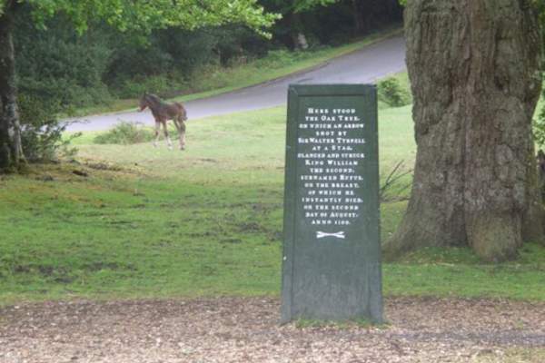
0.2 Miles Starting point : Rufus Stone Car Park what3words ///kite.visits.cuddled This is a New Forest Access For All route. The Rufus Stone is a very short walk from the car park on a good gravel path and the legend on the stone is worth the effort. The Rufus Stone marks the…
1.9 Miles Start : Hurst Road East Car Park what3words ///encroach.adhesive.bigger This is an Access for All Easy-Going Walk. Milford-on-Sea is on the New Forest boundary 4 miles south west of Lymington on the B3058. It has a shingle beach and great views of the Solent and the…
Distance: 1.9 mile (3 km) Start: Longslade View Car Park, Wilverley Road, Brockenhurst, SO42 7UP what3words///proved.amount.outlast This is a wonderful short walk, passing through heathland, under bridges, along ancient woodlands, and you're likely to see…
Distance: 1 mile (1.6 km) Start: Whitefield Moor car park, grid ref SU 274 026, no postcode. what3words ///ideas.dinner.ascendant Starting from Whitefield Moor car park, this walk passes along gravel tracks through a variety of habitats around Ober Water…
Distance: 1.6 mile (2.6 km) Start: Whitefield Moor car park, grid ref SU 274 026, no postcode. what3words ///ideas.dinner.ascendant Starting from Whitefield Moor car park, this walk takes you further along the Ober Water than the yellow route, giving more time to…
Distance: 2 miles (3.3 km) Start: Ringwood Road Fordingbridge Car Park, Ringwood Road, Fordingbridge, SP6 1AN what3words///parkway.slanting.loafing Explore the wonderful riverside town of Fordingbridge! Wander along the River Avon, enjoy local gardens and…
Distance: 1.8 miles (2.9 km) Start: Hythe Ferry, Prospect Place, Hythe, SO45 6AU what3words///drill.hugs.dinner Explore the brilliant town of Hythe! Stroll along the high street, enjoy view across the water, visit local parks and grasslands and walk…
Distance: 2 miles (3.3 km) Start: Minstead Village Green, SO43 7FY what3words///directors.piglet.commenced Explore the quaint village of Minstead on this lovely, short walk. Start at the Village Green, visit Furzey Gardens and pass All Saints Church, which is were…
Distance: 5 miles (8.1 km) Start: Brockenhurst railway station Grid ref. SU 301 019 Post code SO42 7TW. what3words ///fulfilled.gladiator.corkscrew Brockenhurst is a picturesque village in the heart of the New Forest surrounded by some of the…
Distance: 6.8 miles (10.9 km) Start: Brockenhurst Railway Station, SO42 7TW what3words ///fulfilled.gladiator.corkscrew From the village of Brockenhurst this walk passes through Roydon Woods nature reserve over Setley Plain and onto Buckland Rings, the site…
Distance: 4.2 miles (6.8 km) Start: Burley Village Bus stop Grid ref. SU 221 031 Postcode BH24 4AB. what3words ///reporting.zealous.cooked This walk starts at the village centre before setting out on a circular walk around the edge of the village. There is a…
Distance: 5.7 miles (9 km) Start: Woodfalls bus stop, near Woodfalls Inn, Grid ref. SU 198 198, Postcode SP5 2NN what3words ///blogs.faced.dumplings The route starts at Woodfalls and follows a section of the Avon Valley Path through fields and woods to the charming…
Distance: 3.5 miles (5.6 km) Start: Keyhaven green bus stop, SO41 0TG, Grid Ref: SZ 304 916. what3words ///glitter.courier.emotional Along the route there are views across the Solent to the Isle of Wight and the Needles and opportunities to watch the…
Distance: 4.7 miles (7.6 km) Start: Lyndhurst Road (church hall) bus stop, Landford, SP5 2AE, Grid Ref: SU 255 195 what3words ///formally.mouse.annual This walk starts in the village of Landford and explores the northern tip of the New Forest in…
Distance: 5.9 miles (9.3 km) circular section Start: Lepe Country Park, SO45 1AD what3words //////graph.tasks.splat Start at Lepe Country Park and follow the oak signposts around the route. Situated on the southern edge of the New Forest and a mile from the Solent…
8.5 Miles Discover the beauty of the parish, start from the thriving village centre, out to Bolton’s Bench and on into the tranquillity beyond. This walk roughly follows the whole outside parish boundary, using the forest as a natural tour guide. On this route you can…
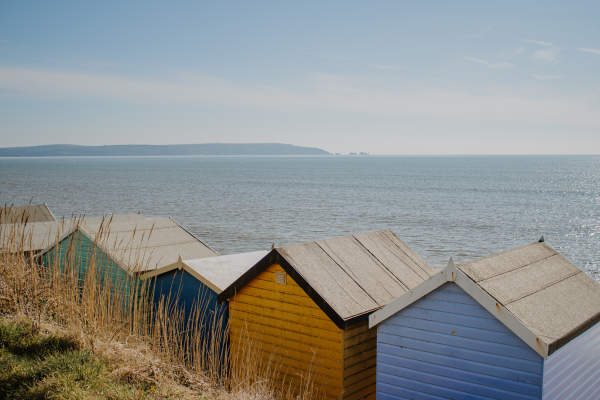
5 miles (if following Spit all the way to Hurst Castle) Starting point : Sea Road Car Park, Milford on Sea what3words ///lamppost.happy.officer For some fresh sea air, try this spectacular coastal walk along Hurst Spit, leading to Hurst Castle. The walk also passes through the…
5.5 Miles Lymington Marina and the Yacht Clubs. what3words ///chucks.storeroom.gravest This route takes you from Lymington Sea Water Baths, along The Solent Way/Sea Wall and into Keyhaven. Along the way, you will enjoy lots of stunning sights across the coast and glimpses of…
Distance: 4.5 miles (7 km) Start: The Three Lions, Stuckton, SP6 2HF what3words ///pose.driveway.joystick This trail takes in a tranquil New Forest valley, with views across the Avon Valley and Dorset. The area is a working landscape, with a surprising history of heavy…
Distance: 3 miles (4.8 km) Start: Hanger Farm Arts Centre, Aikman Lane, Totton, SO40 8FT what3words ///conjured.valued.twigs This trail starts at Hanger Farm Arts Centre, a restored Grade II listed timber framed barn, and heads up and around the Iron Age hillfort of…
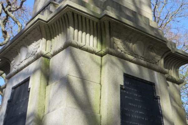
Distance: 3.2 miles (5.1 km) Start/End: Lymington Town Railway Station, SO41 9AU what3words ///lives.notion.calendars Visit the monument to Admiral Sir Harry Burrard-Neale (1765-1835), a prominent Naval officer and former MP for…
Distance: 4.3 miles (6.9 km) Start: Outside the Red Lion pub, Boldre. Grid ref. SZ 988 314 Postcode SO41 8NE. what3words ///sinkhole.dates.goat Beginning in the pretty village of Boldre, this is a peaceful and varied walk through country lanes…
Distance: 7.2 miles (11.6 km) Start: Green Dragon pub and Bell Inn, Brook. Grid ref. SU 273 141 Post code SO43 7HE. what3words ///reframe.sweetener.buzzards Visit the Rufus Stone to discover the mystery surrounding the death of King William II. The route then follows…
Distance: 2.5 miles (4 km) Start: Hockey's Farm, South Gorley, Fordingbridge, SP6 2PW what3words ///thickens.elevates.glare Base your New Forest adventure around the wonderful Hockey's Farm! This walk starts and ends at Hockey's Farm, giving you the…
Distance: 4.7 mile (7.6 km) Start: Pipers Wait car park, Nomansland, grid ref SU 24937 16562. what3words ///eggplants.kiosk.tripled This is a longer walk, taking you along grassland, following pathways through woodlands and past Eyeworth Pond. This walk offers…
Distance: 3.1 miles (5 km) Start: Standing Hat Inclosure Car Park, Denny Wood, Brockenhurst SO42 7QJ what3words///lows.miles.tabs This is a wonderful walk amongst nature and wildlife. Expect to see beautiful animals and enjoy walking under the canopy of…
Distance: 3.3 mile (5.3 km) Start: Millyford Bridge Car Park, grid ref SU 26780 07859, no postcode. what3words ///weekday.reclining.puffed Follow the pathway through wonderful ancient woodlands, stroll over bridges and under the canopy of trees. This is an easily to…
Distance: 3.5 miles (5.5 km) Start: High Corner Car Park, Linwood, Ringwood, BH24 3QY. what3words///sensitive.intention.elephant Explore wonderful woodlands on this moderate walk from High Corner Car Park. Pass by the High Corner Inn (stop in for a drink or a bite to…
Distance: 3 miles (4.8 km) Start: Appleslade Inclosure Car Park, Ringwood, BH24 3QT what3words///abundance.deeply.introduce Enjoy this wonderful walk under tall trees through the inclosure and along beautiful heathland and grassland. You may see some of our free-roaming…
Distance: 3.6 miles (5.8 km) Start: Ashley Walk car park, Roger Penny Way, Godshill, SP6 2LN what3words ///outbursts.bolts.bucket Explore the wonderful north of the New Forest on this brilliant walk at Ashley Walk. On this walk, you'll discover beautiful views…
Distance: 3.1 miles (5km) Start: Bolton's Bench, Beaulieu Road, Lyndhurst SO43 7DA what3words ///shipwreck.gratitude.afford Bolton's Bench is known as 'the New Forest's gateway' and has lots of excellent path ways, with varied natural terrain. On…
Explore New Milton and Barton on Sea on this long but exciting walk from the main town into the seafront village. On this walk, you'll wander a wonderful high street full of shops and cafes, through recreation grounds, alongside wonderful roads lined with trees and onto the…
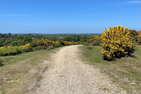
Distance: 3.1 miles (5km) Start: Anderwood car park, Lyndhurst Road, Burley, grid ref SU 24894 05782, no postcode what3words///dressings.acrobat.limitless This lovely New Forest walk will take you along gravel tracks, passing by heathlands and into woodlands. Plus…
34 Miles This walking route will take you from Salisbury - one of the most beautiful cathedral cities in England - to Christchurch Priory and the sea, going through the New Forest along the way. This pathway was opened in 1992, named after the river whose course it follows…
Distance: 4 miles (6.5 km) Start: Eyeworth Pond Car Park, Fritham, SO43 7HJ what3words///cheerful.assess.cabin Explore the wonderful Eyeworth Pond in Fritham before heading out on a walk amongst tall trees. This is one of our longer walks, but is perfect for a…
Distance: 2 miles (3.2 km) Start: Picket Post Car Park, Burley, BH24 4HH what3words///lonely.wiping.triathlon Enjoy this short circular walk alongside heathland, where you will enjoy beautiful views and may see free-roaming wildlife, too. Always follow the…
Distance: 1.4 miles (2.3 km) Start: Blackwater car park, Grid ref. SU 268 047. what3words ///crawler.secure.respected Stimulate your senses on this short but wonderful trail around the Tall Trees Walks. This walk takes you past majestic conifers planted in the…

